Click button below to view 360° VR interactive panorama
SD Standard definition suitable for users with slow internet connections or mobile devices or HD High definition suitable for users with fast internet connections
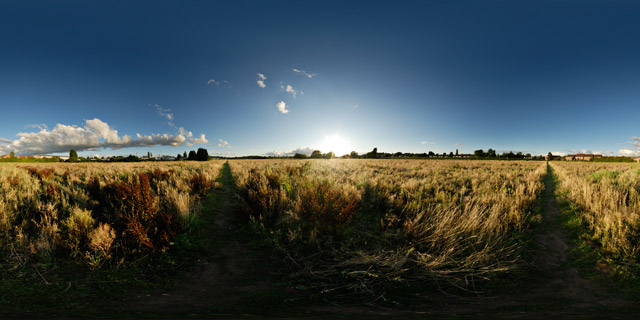
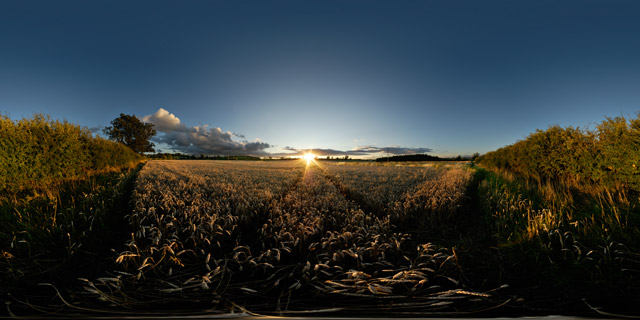
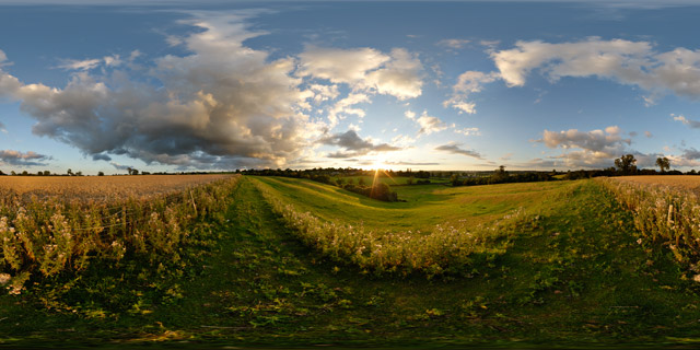
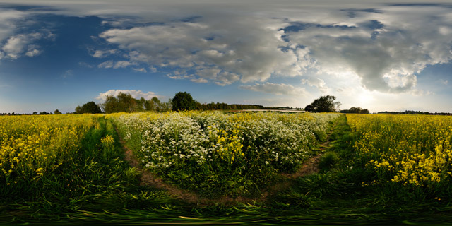
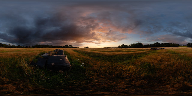
Grass grown for Hay grows in an old ridge and furrow field between Market Harborough and Lubenham. Leicestershire features some of the best-preserved ridge and furrow in England.
From Wikipedia:
Ridge and furrow is an archaeological pattern of ridges and troughs created by a system of ploughing used in Europe during the Middle Ages. The earliest examples date to the immediate post-Roman period and the system was used until the 17th century in some areas. Ridge and furrow topography is found in Great Britain, Ireland and elsewhere in Europe. The surviving ridges are parallel, ranging from 3 to 22 yards (3 to 20 m) apart and up to 24 in (0.61 m) tall – they were much taller when in use. Older examples are often curved.
Ridge and furrow topography was a result of ploughing with non-reversible ploughs on the same strip of land each year. It is visible on land that was ploughed in the Middle Ages, but which has not been ploughed since then. No actively ploughed ridge and furrow survives.
Traditional ploughs turn the soil over in one direction, to the right (see Single-sided ploughing). This means that the plough cannot return along the same furrow. Instead, ploughing is done in a clockwise direction around a long rectangular strip (a land). After ploughing one of the long sides of the strip, the plough is removed from the ground, moved across the unploughed headland (the short end of the strip), then put back in the ground to work back down the other long side of the strip. The width of the ploughed strip is fairly narrow, to avoid having to drag the plough too far across the headland.
This process has the effect of moving the soil in each half of the strip one furrow’s-width towards the centre line.
In the Middle Ages each strip was managed by one small family, within large common fields (see strip cultivation), and the location of the ploughing was the same each year. The movement of soil year after year gradually built the centre of the strip up into a ridge, leaving a dip, or “furrow” between each ridge (note that this use of “furrow” is different from that for the furrow left by each pass of the plough). The building up of a ridge was called filling or gathering, and was sometimes done before ploughing began. It is thought that the raised ridges offered better drainage (on some well-drained soils the fields were left flat). The dip often marked the boundary between plots. Although they varied, strips would traditionally be a furlong (a “furrow-long”) in length, (220 yards, about 200 metres), and from about 5 yards (4.6 m) up to a chain wide (22 yards, about 20 metres), giving an area of from 0.25 to 1 acre (0.1 to 0.4 ha).
In places where ploughing continued over the centuries, later methods removed the ridge and furrow pattern. However, in some cases the land became grassland, and where this has not been ploughed since, the pattern has often been preserved. Surviving ridge and furrow may have a height difference of 18 to 24 in (0.5 to 0.6 m) in places, and gives a strongly rippled effect to the landscape. When in active use, the height difference was even more, over 6 feet (1.8 m) in places.